Know before you cast
Know before you cast.
Set a location on any water body and get an expert fishing briefing with weather, species viability, lure picks, regulations, local reports, and tides in seconds. Every result is rebuilt live, so it changes with the current conditions and reports every day.
Free to start · Works on web and mobile · No credit card required

Live every time
Fresh intel every time you search
MyFishNavigator never serves a canned article or last season's report. Each briefing is rebuilt from your exact pin, the exact date, and the conditions happening right now, so the same spot reads differently in the morning, on a falling tide, or after a cold front.
-
Your location
Set a location, search a place, or use your location. Every analysis is tied to that precise spot.
-
Live weather
Current Open-Meteo forecasts for wind, sky, pressure, and temperature, pulled fresh for your pin.
-
Tides & solunar
NOAA tide predictions and solunar major and minor windows scored for today, not a generic table.
-
Water conditions
Water temperature and type, salt, fresh, or brackish, detected automatically for the spot.
-
Local fishing reports
Recent web-sourced reports and regulations for the area, gathered at the moment you search.
-
Platform synthesis
Algorithms combine every signal into one clear game plan, refreshed on every run, never cached.
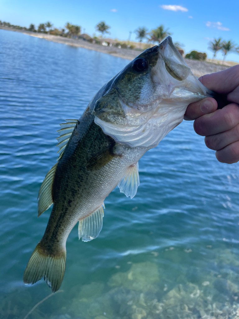
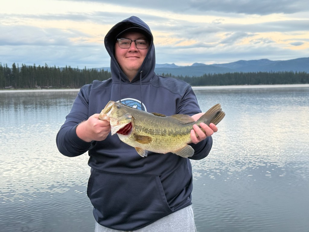
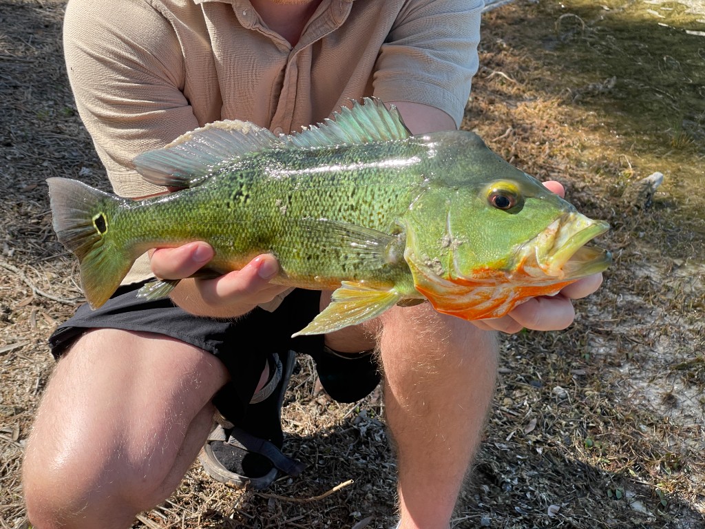
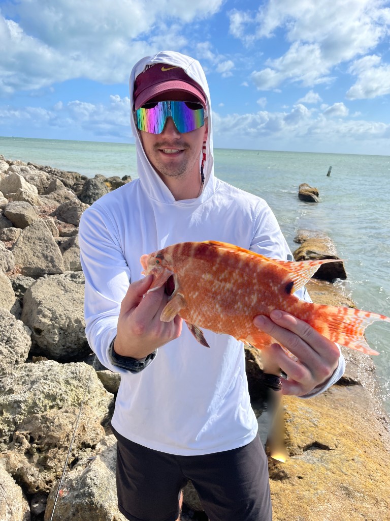
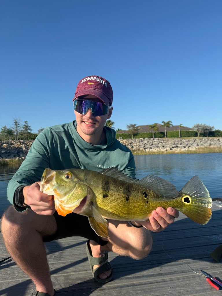
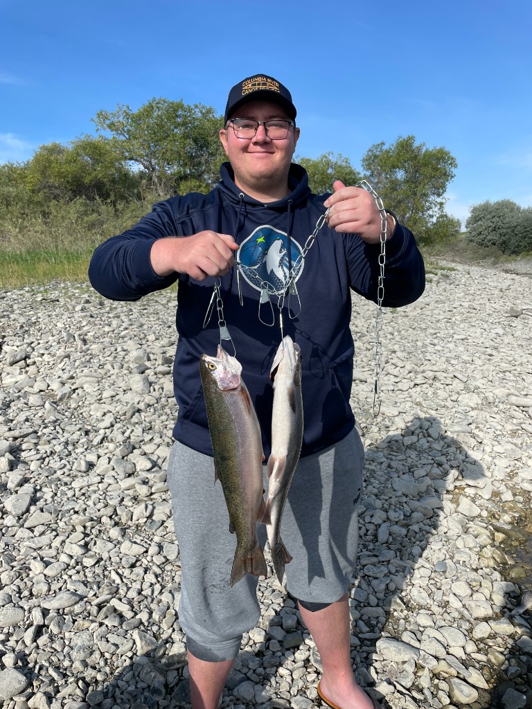
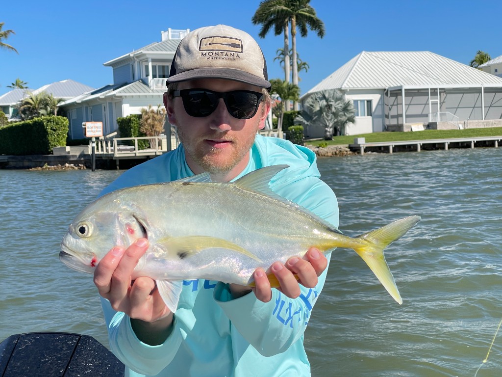
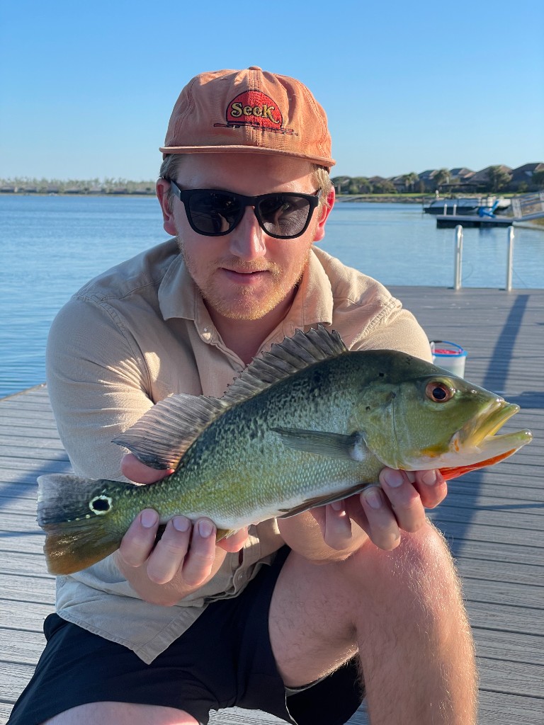
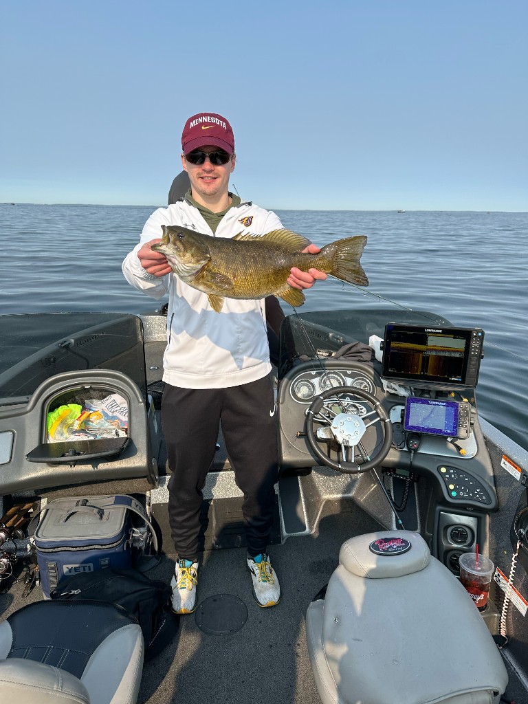
Fish Caught with MyFishNavigator
Real anglers, real catches from lakes, rivers, and coastlines across the country.

-
Trip map & TOP SPOTS
Drop numbered pins on your trip map for multi-spot days. Each TOP SPOT re-snaps to water automatically.
-
Export to GPS
Send briefing waypoints to your chartplotter or handheld GPS so you run the plan on the water.
Everything you need for smarter trips
MyFishNavigator combines live conditions data with web-sourced intel and smart analysis so you spend less time researching and more time fishing.
-
Interactive map
Search places, set a location, or use your location. Salt, fresh, and brackish water detected automatically.
-
Smart trip briefings
Our platform synthesizes reports, regulations, and spot intel into a clear, actionable trip guide.
-
Live conditions
NOAA tides, wind, swells, water temperature, Open-Meteo weather, and solunar data baked into every analysis.
-
Species & tackle
See which species are viable, get lure recommendations, and browse catch gallery photos.
-
Follow-up chat
Ask the fishing expert follow-up questions after each run to refine your plan.
-
Saved trips
Every analysis is saved to your account. Reload past briefings anytime from any device.
-
New
3D underwater terrain
Scout drop-offs, humps, points & channels in interactive 3D on 1,000+ mapped lakes. On the mobile app, Pro saves lakes for offline 3D viewing — terrain stays in the app, not your device Files folder.
-
Mobile
Offline 3D lake maps
With Pro, download saved trips with basemap + 3D terrain, or save individual lakes from Advanced Mapping while online. Works with no cell service on the water.
How we compare
Built for the briefing, not just the map
Chart apps map the water and catch-log apps track your history. MyFishNavigator turns live conditions and local reports into a plan for today. Here's how that stacks up.
| Feature | MyFishNavigator | Fishbrain | Navionics | onX Fish | Other briefing apps |
|---|---|---|---|---|---|
| Smart trip briefing from location, conditions & reports | ✓ | ~ | — | — | ~ |
| Live tides, weather & solunar in the analysis | ✓ | ~ | ~ | ~ | ~ |
| Pin-drop spot research on any water | ✓ | ~ | ✓ | ✓ | ~ |
| Local fishing report synthesis | ✓ | ~ | — | — | ~ |
| Trip map, TOP SPOTS & GPS export | ✓ | — | ✓ | ✓ | — |
| Saved briefings synced across devices | ✓ | ✓ | ~ | ✓ | ~ |
| 3D underwater terrain — drop-offs, humps & channels | ✓ | — | ~ | ✓ | — |
| Offline 3D lake maps in the mobile app | ✓ | — | — | — | — |
Included Partial Not offered
Feature availability based on public product information as of May 2026; competitor offerings may change.
Ready to fish smarter?
Create a free account and run your first briefing in under a minute.
Get started for free today